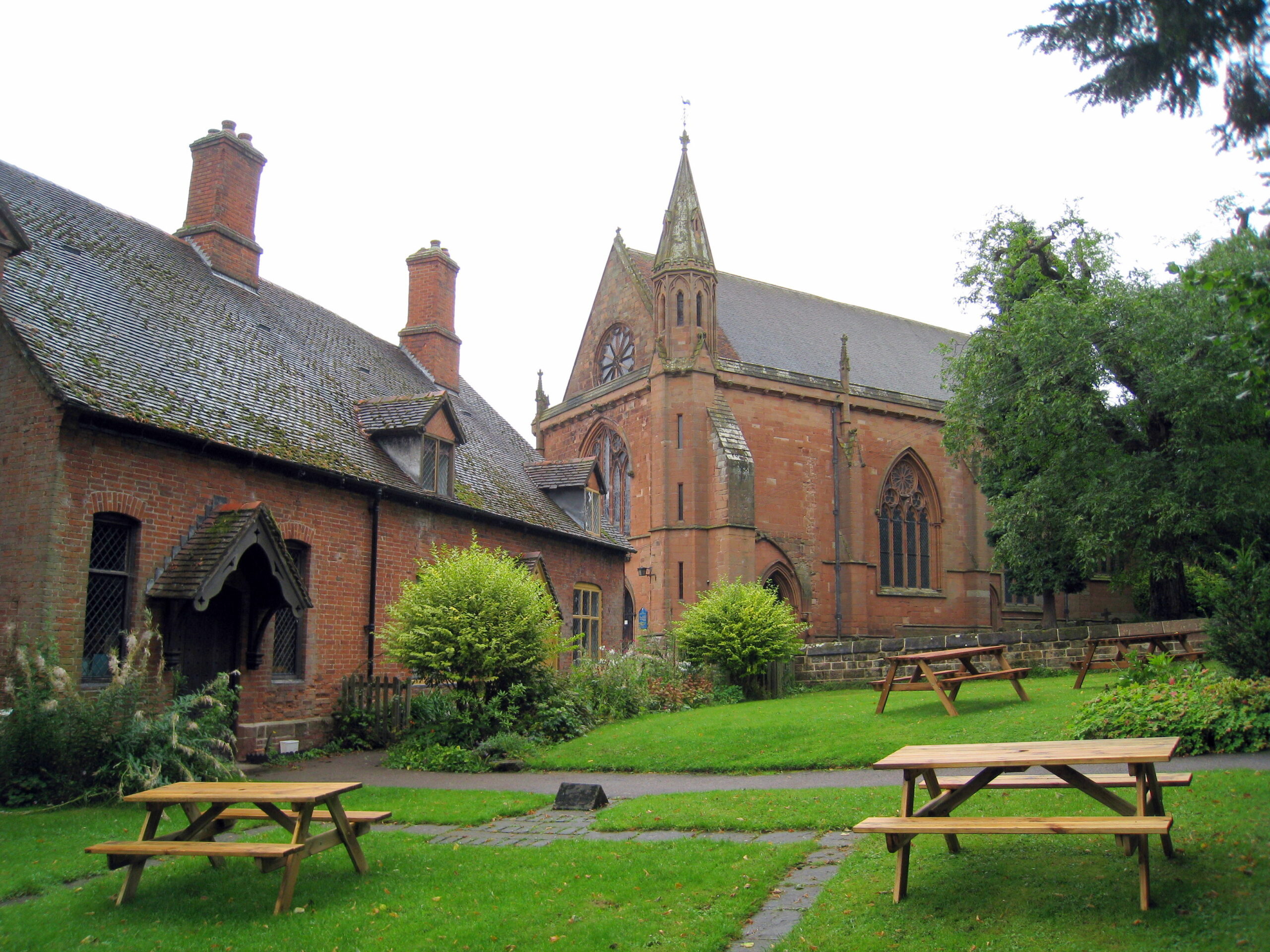
Heronfield near Knowle
Circular Walk 32 (7 Miles)
Walk Overview
This circular walk starts at the Black Boy pub at Heronfield, south of Knowle, off the main A41. The Millennium Way section has our distinctive black and white waymarkers. During the early part of the walk you will follow the Millennium Way along the Grand Union Canal and, after walking some delightful open, flat countryside, you will rejoin it at Temple Balsall. Here you may wish to take a short detour to visit the church of St Mary at Temple Balsall which has connections with the Knights Templar.
Walk Details
- Start: The Black Boy, Heronfield B93 0EB
- Start Grid Ref: SP192 749
- Parking: Black Boy by the canal
- Refreshments:
- The Black Boy (01564 772655)
- Maps: OS Explorer 220 & 221 or OS Landranger 139
- Distance: 7 Miles
- Time: 3 Hours
- Stiles: 1 ( dog friendly )
- Download: Walk GPS (GPS Exchange Format, GPX)
- GPS and GPX explained
- Find a mobile app on the Apple App Store or Google Play
Updated November 2022
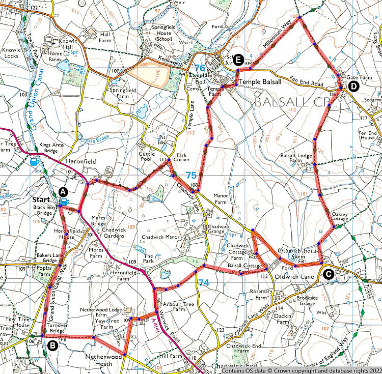
Walk Instructions
Section A
( We start our walk from The Black Boy public house. Please park to the left of the driveway.)
From the car park to the left of pub, bridge & recycling bins, take gap to canal towpath and go left along canal side following the Millennium Way waymarker. Continue under bridge 68 and when you reach the unnumbered bridge 67 go left, to take kissing gate to field. Here we leave the Millennium Way for the time being.

The Black BoyHeronfield
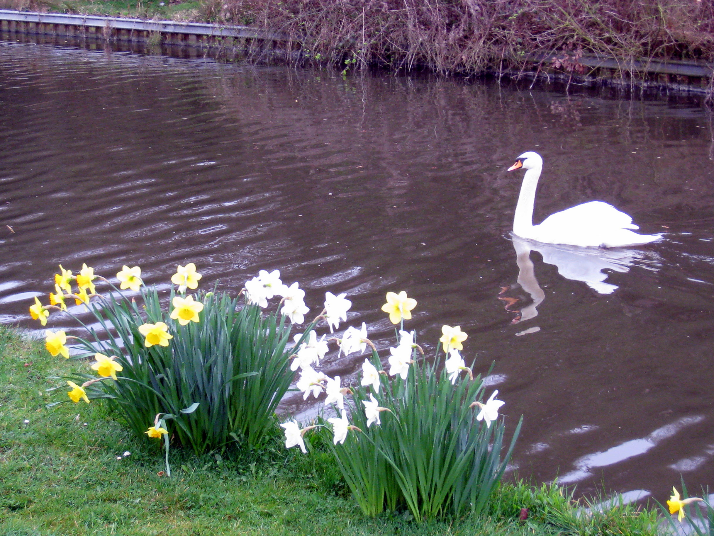
Canalside delight
Section B
Go ahead into field, keeping hedge left, to cross footbridge over stream. Continue across next field between fences towards pylon, then pass under power lines to take metal kissing gate ahead and continue along wide grassy path which soon becomes a farm track. Keep ahead to take metal kissing gate to lane. Go left on road (Arbour Tree Lane) and stay on lane which bends sharply right by Netherwood Lodge Farm to reach the main A41 Warwick Road. Go left on verge of main road, past Arbour Tree Farm on your right, then cross over when safe to take waymarked path right, just on the bend. After passing through gates stay ahead on track keeping hedge right for 110 paces. After the the path veers left, look for metal kissing gate on your right. Take kissing gate and go immediately left to continue in same direction with hedge left. Take far corner kissing gates to lane and go left for 100 paces to take kissing gate right and continue along between fence and hedge. Take the next kissing gate, then ahead with fence and hedge right. Take waymarked metal gate into next field then over stile and continue ahead with hedge right. Exit field by metal gate and go left along Sparrowcock Lane to pass Chadwick Barns on left and when you reach the junction turn right and continue down lane. (You can go left here which cuts out at least 2 miles to rejoin here ** in Section E). Cross the ford and continue gently up the lane to find public footpath by two metal kissing gates on left.
Take both kissing gates, and go ahead into field then ahead with hedge and fence right to take metal kissing gate and footbridge in corner of field. Continue right with hedge right walking gently uphill. At top corner of field ignore kissing gate right and go left, continuing down field with hedge right. (You have now joined The Heart of England Way). Soon you will bear slightly right through corner copse then go gently downhill with hedge left until you reach hedge corner. Go ahead across field, over ditch then continue uphill across the middle of next field. On reaching the waymarker post go directly ahead to reach surfaced track and continue with hedge right until you reach the road.
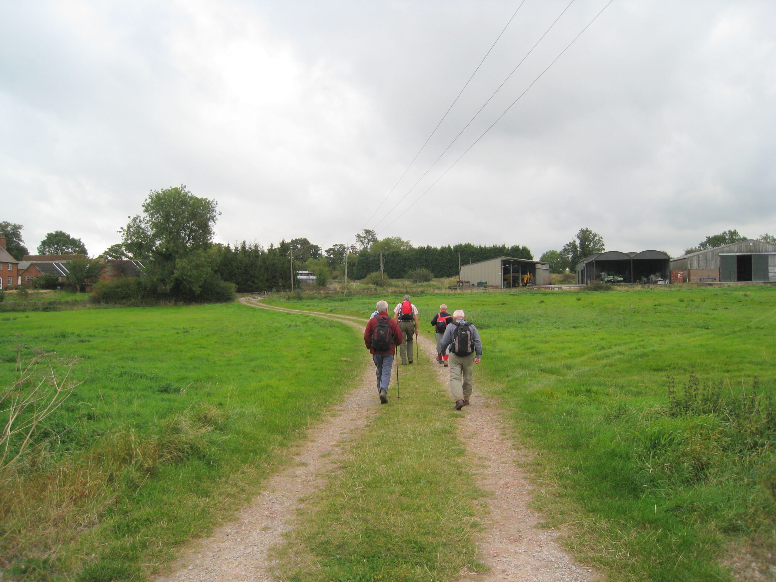
Easy Walking
Section D
Go right on road and a few paces past Barracks Cottage go immediately left along signposted path to continue along The Heart of England Way. Go along narrow path with ditch right and fence left to emerge into large field, continuing ahead with hedge right. Stay ahead through next gap and go with hedge right towards pylons in far distance. Take boarded gap into next field to eventually reach crossroads of paths (here we rejoin The Millennium Way) where we turn left, staying in the same field, continuing along with hedge right for just under 1/2 mile to reach road.
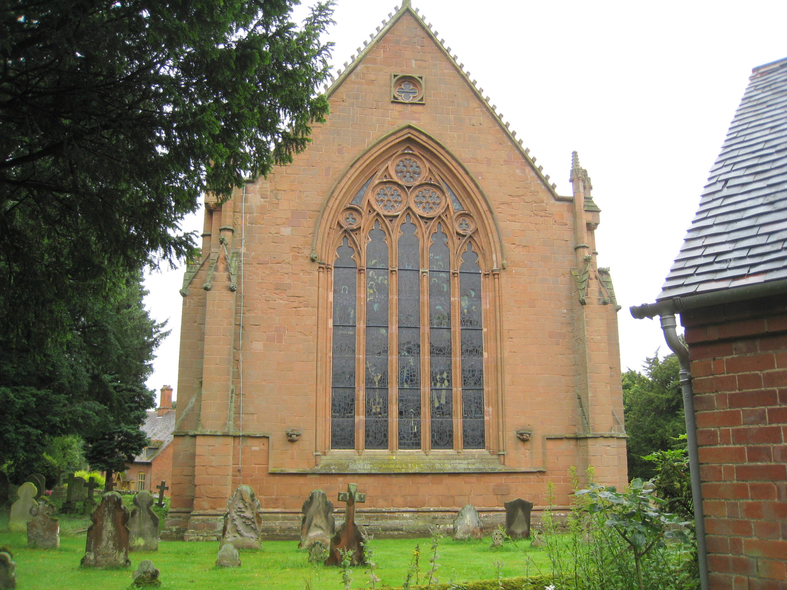
St. Mary the VirginTemple Balsall
Section E
Turn right down road and after 100 paces turn left down surfaced track then through metal gate facing you (do not go right yet) and down farm track. Follow farm track around bends then, after a sharp right just before farm entrance, turn left to go on track parallel to power lines. Cross small stream to next field staying parallel to power lines and follow track into next field as it bears left (guided by the Millennium Way waymarkers). Go with hedge left to kissing gate at end of fields to reach road. (** Short cut rejoins here). Turn right on road for a few yards to junction, then right onto Chadwick Lane. On reaching house with large pond turn left on path to right of driveway. This leads to an enclosed track which at times can be very muddy. However, you will find a couple of elevated walkways on your left which can now be used to bypass some of the muddy areas. Continue down to reach a farm track then turn right. Go under power lines and where the track turns right go ahead through gate and follow path past The Dial House to main A4141 road. At the road turn left and then take driveway right back to The Black Boy Inn for refreshments.
Points of Interest - What to know and what to see...
by Andy Botherway
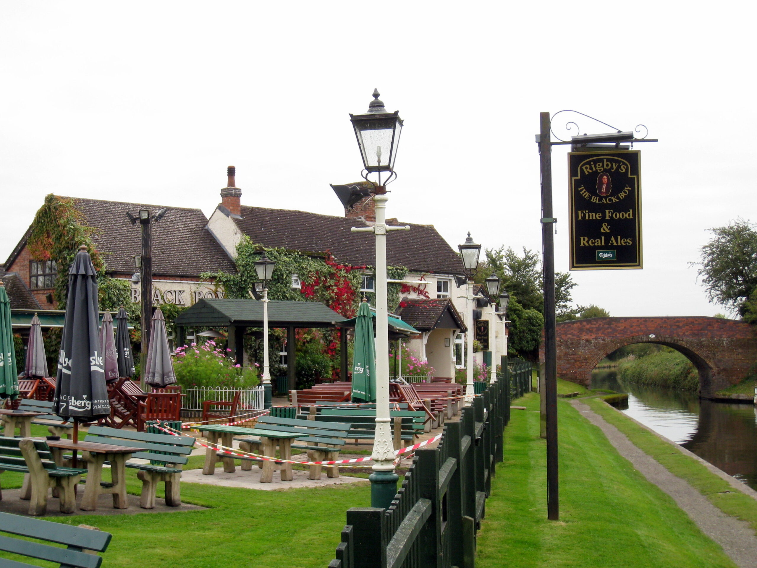
Black BoyHeronfield
Black Boy
Pubs across England called The Black Boy are generally named after King Charles II. It was a nickname coined by his mother because of the darkness of his skin and eyes.
The original Black Boy was closer to the Warwick Road than the building that stands today, the new premises were built in 1793 because of the new canal trade.
Temple Balsall
Although off the Millenium Way, the buildings at Temple Balsall should be visited. The complex of almhouses, church and the Old Hall present a fascinating story. The area belonged to the Knights Templar brotherhood from the 12th century and they farmed around 620 acres. After the order was suppressed, the land was given to The Knights Hospitaller of St. John. It was again lost when Henry VIII dissolved the monasteries and Queen Elizabeth I gave the estate to Robert Dudley (see Circular walk - Kenilworth for more on Dudley and Elizabeth).
Robert Dudley's grand-daughter, Lady Katharine Leveson of Trentham Hall, Staffordshire, inherited the estate. On her death in 1674, Lady Leveson left endowments for almshouses, the Lady Katharine Leveson primary school and the local church. The 13th century church and Old Hall and 17th century almshouses survive.
The Old Hall and Church
The Old Hall, adjacent to the Church, headquarters of the Knights Templar, dates from the 13th Century. Though partly converted into a cottage with its original walls encased in brick, it is one of a very small number of medieval aisled halls, which survive.
The cellar of the Old Hall was excavated in 1981 and was found to contain a great deal of late 17th and early 18th century pottery and glass. The items found are on display in the Old Hall.
